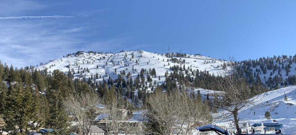
This is a fun activation with an manned fire lookout (active during summer only of course) a few miles north of Crater Lake National Park. If the lookout is occupied and the gate is open, it would be a drive-up. If the gate is locked, it's a mere 1.7 miles of road walking OW and 900 feet gain. Along Highway 138 and about 11 miles north of Highway 209 that enters Crater Lake National Park, find Cinnamon Butte LO Road (FS 4793).
Good Parking At Trailhead
Hat Point, OR | June 2017
In the extreme NE corner of Oregon, there's this lovely near drive-up summit with a great view down to the Snake River and Hells Canyon. There's a fire lookout tower that you can climb partway up, but it's perhaps not the best place to activate. Instead, head down the short trail to the benches and picnic tables that have a view east down into the canyon - it's fantastic.
Warner Peak, OR | Sep 2013
On the Hart Mountain Antelope Refuge in southern Oregon, Warner Peak is a nice 3.4 mile one-way road walk. Although the trailhead is not that easy to reach and the Refuge is one of the most remote places in the state. You'll want a high clearance vehicle for these roads. From Refuge Headquarters, head south on Blue Sky Road for 14 miles - it starts out heading south and then turns towards the west. Near 42.4298° -119.723° turn left and continue about 0.7 miles to a ford.
Twelvemile Peak, OR | Sep 2013
From Lakeview, Oregon take Oregon Highway 140 north toward Paisley. Following Hwy 140, turn right onto Hwy 140 east toward Adel. Turn left onto Forest Service (FS) Road 3615 traveling north about 6.8 miles and pass the right turn to FS Road 019 (this leads to Light and Drake Peaks). Continue on FS Road 3615 about 3.2 miles to a road leading off to the right near 42.316° -120.168°. From here you are kinda on your own - you may find a good place to park about 0.6 miles up one of the dirt tracks - perhaps near 42.321° -120.1595°.
Light Peak, OR | Sep 2013
Light Peak is located about one hour northeast of Lakeview, Oregon and features the Drake Peak Lookout that can be rented in summer. (Yes, Drake Peak Lookout is on the shoulder of Light Peak and not on Drake Peak...)
Bald Mountain, OR March 2020
I love Bald Mountain. Not sure what it is about this gem. Maybe just like Wagner Butte and Grizzly Peak, it's a mountain I stare and gaze at frequently. It is the view from our ranch meadow (Brickpile Ranch) so again one of those mountains I wanted to hike but never did until SOTA. Each activation I have done from a different areas since it is a long summit, only once have I took the trail. If feeling ambitious I recommend doing Point Mountain or Anderson Butte same day.
Deadman Hill, MT| June, 2019
4.3 mi, +2,100 feet
This is a good earlier season hike that offers spectacular views and some isolation after leaving the main Sun River Trail.
Negro Ben/Ben Johnson Mountain, OR July 2019
I was driving by Negro Ben every week for a job so decided to give it a try on my way home one morning, being that it was “just a 2 pointer” I thought no problem. It was a little exciting for my first solo activation. The majority of the walk up was easy, just a gated road. Then you have to bushwack your way up from the end of the road (SEE UPDATE). A few yards in I had a rattlesnake slither right across my foot as I took a long stride up the bank. Yikes! I set up in the timber, there is some open areas at the very top but I was looking for shade in July.
Burton Butte, OR March 2020
Took a drive to see if this neglected butte was easily accessible for a Sunday afternoon drive. Turns out all roads were open and you can drive to the contour line if you wish. Road finishes in contour with a large open area and fire pit. The weather was shifting so we chose to build a campfire and set up within the contour but did not bushwack to the peak. No real view other than from the road coming up. I walked down and enjoyed some of the views looking towards Woodrat Mtn and Ruch.


