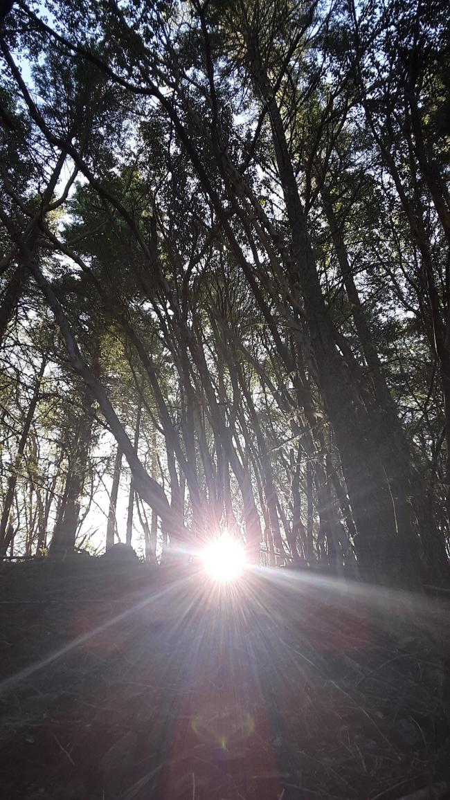
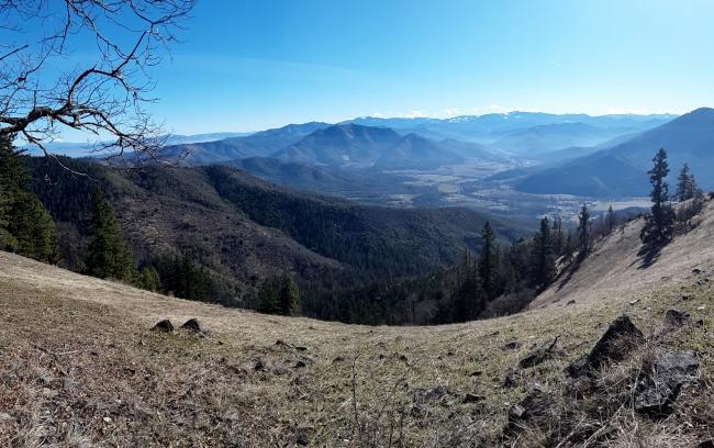
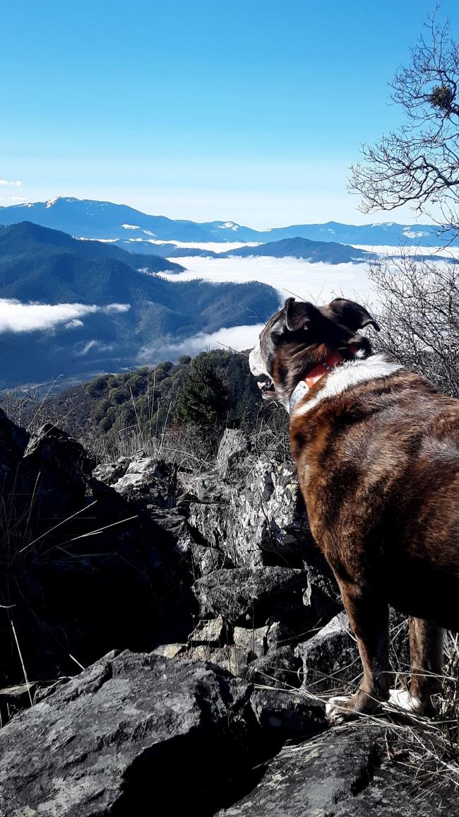
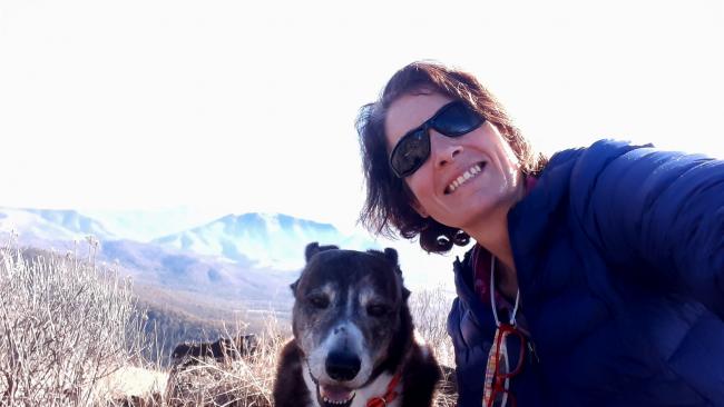
I couldn't resist the perfect weather today and left to go activate Mt. Isabelle but when I got up to the parking area I noticed there was a road that went to Wellington Butte the other direction, to the left. I drove past this butte on 238 for 3 years going to work and I was under the impression it was a closed road, but I was wrong. I carefully made it through snow, ice and mud and had a lovely day.Spectacular view looking down at Applegate River, Ruch, the Siskiyous, Grants Pass, etc. Near 360 view. It reminded me of looking into a curved glass diorama.
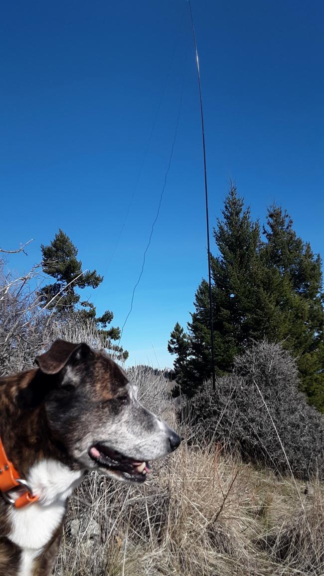
What I learned: Don't take the road all the way to the base of the summit. It is very, very, steep with lots of down timber that is hard to hike up. Instead you will come to a spot on the road that the road and ascending ridge are about the same elevation. Start hiking up the ridge to the peak here staying a little on the se facing side. There is far less timber on the side and the way I came down. Another thing is poison oak. It is heavier on the sw side and it is the size of trees! Plenty of room to set up on top but I found it a little challenging to find a place to put my pole that was not tangled with poison oak. I found a dense shrub just shy of the rock clustered summit and stuck it in there. I can't wait to go back in the springtime when the birds and bloom are abundant.
There is a good parking area (Long Gulch, has info sign and picnic table)where Upper Oregon Belle Rd BLM 38-3-8 meets the road down, then up to Wellington, I just tried to see how far the road could be driven and made it an additional 500 yards. It was about 3 miles RT from where I parked.The road had deep ruts and some down trees and was soft mud. Didn't want to chance it being I was alone. I think in drier weather you can jeep it further. I also see there is another road to this interchange but I was not familiar with it so went back towards Isabelle to go home.
de AG7GP


