Maklaks was the 2nd summit I did while camping at Jackson Kimball State Park, Sand Ridge the evening before, Maklaks the next morning. These two can easily be done in one day. If really ambitious, you could even add Pothole Butte or another Hwy 97 summit.
Maklaks has no trail so you could likely do it from a few different starting points. Since I was coming from Wood River, I took Sun Mountain Rd to RD 2303, then a left on 2303-310, starting my hike at 42.84024, -121.99686. Good gravel road the whole way. However, I initially got info on this summit from peakbagger where the person I think hiked from the park's Pinnacle Rd side. There is also RD 2304 which used to be the east entrance to CLNP but now dead ends at Pinnacle TH. I highly recommend driving this route either coming or going to take a look at the pinnacles. Next time I might hike from the Pinnacles TH instead, I don't think there will be much variation but if coming from 97, 2304 is the route to go. Hope that all makes sense.
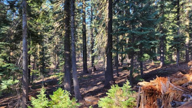
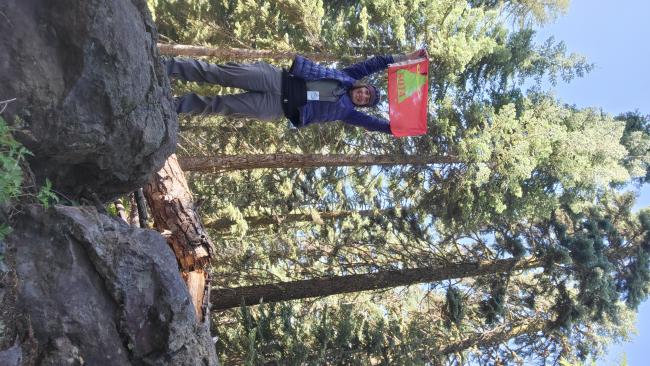
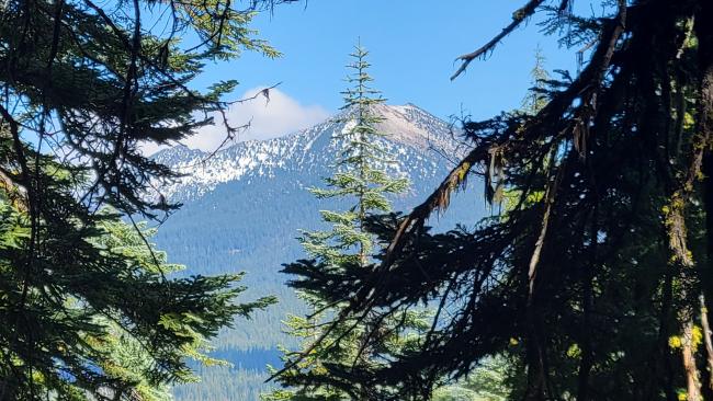
Maklaks is a filled crater. The hike starts pretty flat, a bit thick with trees in some areas, and quite a few down logs. Eventually you will get out of the mess and it opens up and starts climbing. It is a fairly good climb. My hike was about 1.6mi with 1000' gain, much of it the last 3/4 mi. This one I really recommend using a compass on. Easy to get off track. Beautiful park like summit with ample space to set up in. You can see Mt Scott a little bit going up and Crater Peak if you walk to west side of the summit, but no real view, just large timber shading a fairly flat summit top. Great summer time activation.
So what is the name? Both the Klamath and the Modoc called themselves maqlaqs, maqlags or Maklaks meaning "people". Recently I saw the Klamath tribe refer to themselves as muq'luqs at a ceremony happening the same week I was hiking.
de AG7GP


