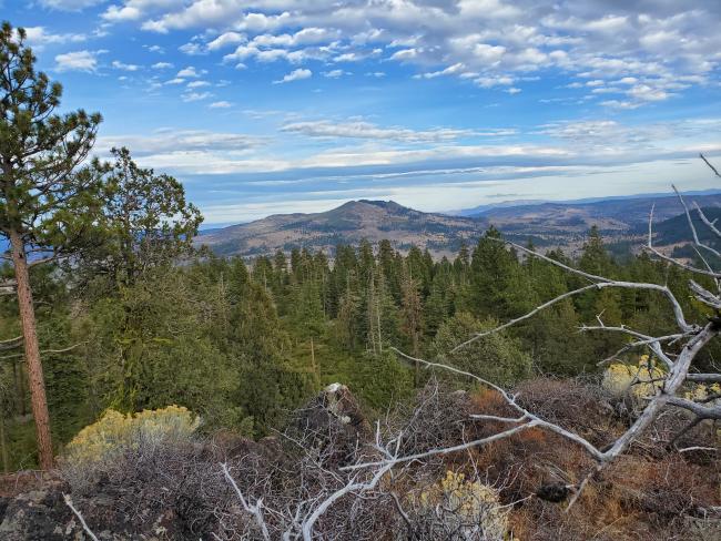
I decided to attempt Barry Point following the Annular Eclipse of 2023. I approached it from the South and drove clockwise to a point north of the peak where a dirt road heads South East up the hill, parking at 42.113809, -120.793403.
This last leg of the drive contained pretty deep ruts (presumably from people driving through the snow), a few mud puddles (even in October). Definitely need high-clearance and probably 4wd once you leave the gravel road and turn SE.
Barry point was the beginning of the 2012 Barry Point Fire, which burned almost 100k acres to the North and East. By 2023 most of the trees were down, with a few large snags still standing.
It was a difficult walk through thick bruch that ranged from 3 to 5 feet tall on the North side of the summit. The actual summit is quite rocky and handful of meters across, but the large ridge to the NW was well within the activation zone, so I operated from there. My route from the parking spot saw about 250 feet elevation gain over 0.5 miles.
The summit (and ridge) had beautiful views of the area, including Dog Mountain to the east (see photo below), and various reservoirs and lakes in the area. The ridge was largely bare with sparse brush and plenty of logs for sitting. The mast was propped up by a tall bush.
The path down was a little easier as I paid closer attention to where the leaves were damaged by wildlife passing through.
The hike up from the South or West would be largely brush free, but 3x more elevation gain.


