This no-name summit just East of Dog Lake was the last of of three activations during the Annular Eclipse weekend of October 2023.
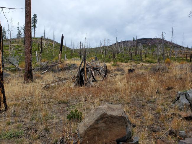
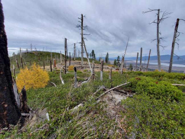
I turned onto NF-401 just east of Dog Lake and then North at 42.087380, -120.632595, then West immediately after crossing the wetland. This put me onto a narrow dirt road, with burned trees from the 2012 Barry Point fire, and in one case was forced to tether the top section of a downed to the truck, breaking it off to clear the way to drive further. I parked at 42.088185, -120.656599 and hiked up to the ridge between the true summit (on the West end of the ridge) and another peak to the East (see both false summits below, though I believe the one on the right is also within the activation zone). There is plenty of open area along the ridge within the Activation Zone, from which the views to the N and S are spectacular. The final ascent to the ridge did require a bit of scrambling: climbing over a few boulders and fallen logs, and through brush. I couldn't see it from the end of the drivable road (up which I walked), but an old road is now a cow path and ends near the ridge here 42.091490, -120.660525 and was easily walkable.
From where I parked (it would be possible to drive farther, but I'd had sufficient brush against the truck for one day), I walked about 0.25 mile along the dirt road, and another 0.25 miles of bush whacking and boulder crawl before I reached the ridge / AZ, with an elevation gain of just 250 feet.


