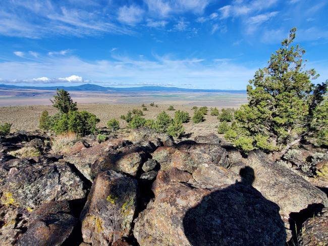
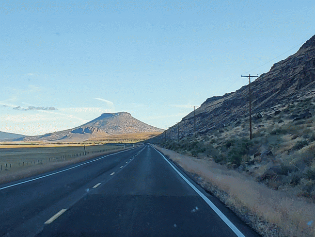
Table Rock lies between Summer Lake and Fort Rock in central Oregon. It's easily visible and obvious for miles--a large round platau surrounded by desert. Views are great, of course.
While it's possible to drive up, the road is one of the rougher roads that I've driven for a SOTA activation (with no opportunities to turn or pass except at the couple of super sharp hairpin turns). Plenty of sharp rocks sticking out of the road bed that I did my best to avoid, and one or two boulders that were unavoidable and required 4-WD to climb over in the F-150 pickup (one near the very top after the last hairpin turn). At one extreme moment on the return my truck's IMU simultaneously reported a pitch of 12 degrees down, and a roll angle (away from the mountain) of also 12 degrees.
Had I known the above before heading up, I might've hiked from the base of the hill, where the road was sandy and wide (plenty of places to park). On the other hand, had I been driving a rock-crawling Jeep with aggressive tires (especially if it wasn't mine), no problem (haha).
Enough about the road, on to the summit. At the north extreme of the large "table" is a proper summit containing commercial transmission equipment and towers. But the VERY large flat table area is also within the AZ, and several scattered trees afforded great opportunities to secure my mast for the 40m EFHW. I didn't attempt 2m, and would be surprised if that would've been successful anyway. Not much population in the line of sight. No RF interference detected but I was also perhaps 80m away from the towers to the South.
While I didn't savor the thought of driving back down, all was achieved without incident, but at a very slow speed.


