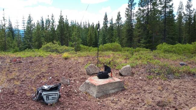
Here's another summit in the Diamond Lake area to activate if you have a few hours. It's a drive-up, if your vehicle has moderate ground clearance and otherwise a short road hike.
We'll start from the intersection of Highways 230 and 138, near the SE corner of Diamond Lake. Head north on 138 9.3 miles to where the road starts to turn towards the west - you'll turn right onto a road identified on my maps as the Cascade Lakes Highway and may also be labeled Windigo Pass Road - it's good gravel and runs straight for 4.6 miles where your'll turn left onto NF 2612, bearing right after 1.1 miles, and continue for a total of 4.9 miles. Here you'll turn right onto an unlabeled forest road for 1.2 miles until you arrive at the summit. This last road might be driven with care in a passenger car - moderate clearance vehicles should make it with no problem.
The summit proper is wide open as the location of a former fire lookout and enough small trees left to help support antennas. Here's info on the lookout: http://www.firelookout.com/or/kelsaymtn.html
You should also consider activating nearby Bunker Hill, and perhaps Mount Bailey and Garwood Butte as well. There is nice camping at the south end of Diamond Lake, and the Diamond Lake Resort for food and lodging.


