Monte Carlo is a nice trail to an open summit near Underwood, WA. This appears to be the shortest and easiest way to Monte Carlo - a hike of less than a mile and about 800 feet gain.
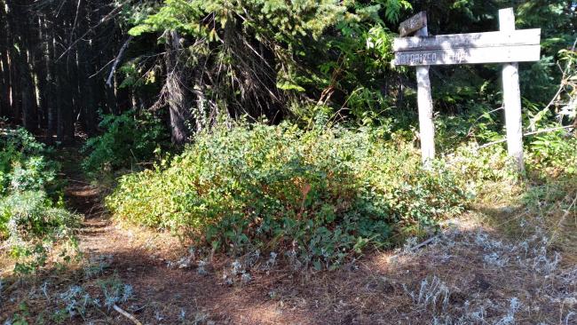
From Highway 14, take 141A 4.1 miles to Nestor Peak Road, then 6.3 miles north on B-1000 (AKA, Nestor Peak Road), then sharp right onto B-1500 for 1.0 miles, and right onto an unnamed road (B-1500?) for 1.4 miles. The roads all appear to be Priusable. The trailhead is unsigned and Very Obscure (near 45.8694, -121.5794). There is a slightly wider spot to park there. From here, the Monte Carlo summit is about 0.8 miles to the east on a sometimes steep trail.
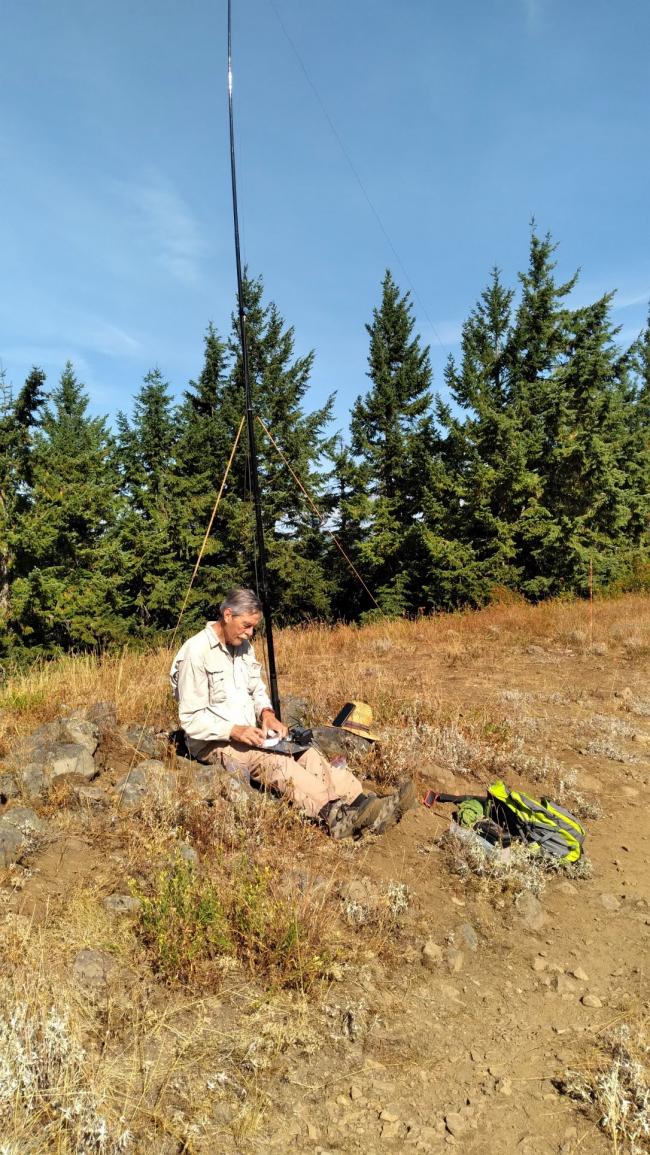
The summit has a large 'meadow' surrounded by trees for antennas. There could be 2m FM coveage into Portland/Vancouver, but you'll need a good antenna.
OPTIONAL TRAVERSE
Monte Carlo and Monte Cristo Range HP could be two summits to do as a ~7.4 mile, ~2300 foot net gain traverse with two parties and a vehicle exchange. You could also just drive around to each short trail - but you'd miss the lovely ridge walks of the Monte Carlo / Monte Cristo trails.
Trail #52 Monte Carlo
https://www.fs.usda.gov/recarea/giffordpinchot/recarea/?recid=31836
Trail #53 Monte Cristo
https://www.fs.usda.gov/recarea/giffordpinchot/recarea/?recid=31838
Buck Creek Trail Map - DNR (includes entirety of the traverse)
https://www.dnr.wa.gov/publications/eng_rms_buck_ck_all.pdf


