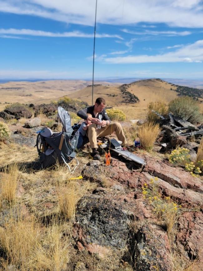
I did this summit in the area my family hunts mule deer, as I didn’t have tags last year and still wanted the family trip to the desert.
Much of this area is accessed by “roads” that were never cut by a grader but worn in by years of mostly rangers driving out to care for fences, waterholes, and salt blocks for the cattle they graze in the region. They drove around the lava beds they could, and over the ones they couldn’t. As such, you’ll want a decent amount of clearance, and may not always have enough room to get around junipers, sagebrush, and bitterbrush without scratching your paint. Carry a spare tire and know how to change it. We’ve lost more than one sidewall out here over the years, and you’re not going to find a tow truck likely to come fetch you.
Also, while not super common, we’ve seen rattlesnakes and mountain lions out here on plenty of trips. If those make you uncomfortable, take whatever precautions you feel appropriate.
Another note, always leave gates the way you found them. Carelessly leaving a gate open could result in days of extra work for ranchers tracking down the cattle you let out of where they expected them.
From Burns, take highway 78 east and south to Crane, about 29 miles, and turn east on to the Cran-Riverside Road. Follow this gravel road another roughly 28 miles, where you will have to drive a big square around a ranch. Just east of this ranch the road will have a y intersection where you’ll go right up the hill. This cutoff will take you over to the Crowley-Riverside road, from which the road up star mountain will branch. The Star Mountain road is just a track, and is easy to miss. This is the most challenging road of the drive and will definitely require SUV level clearance. 4WD is helpful some parts of the year. Drive up into the saddle between Star Mountain on your left and the rocky feature we call the Camel’s Hump on the right and stay left when a road drops off to the right. Find a place you’re comfortable parking and you’re ready to climb.
If you can wrap around to the east side of the mountain you’ll probably have the easiest approach. We had to go straight up the south side as there was a hunter’s camp blocking the track around east. Depending on the start, you’re looking at somewhere around 800 vertical feet in under a mile.


