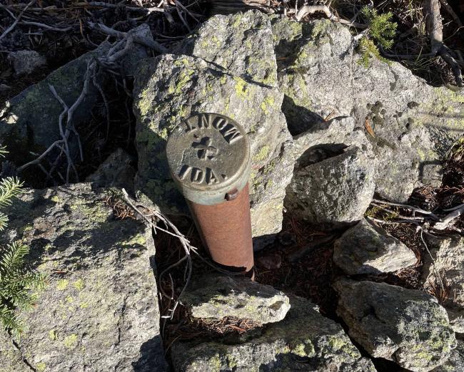
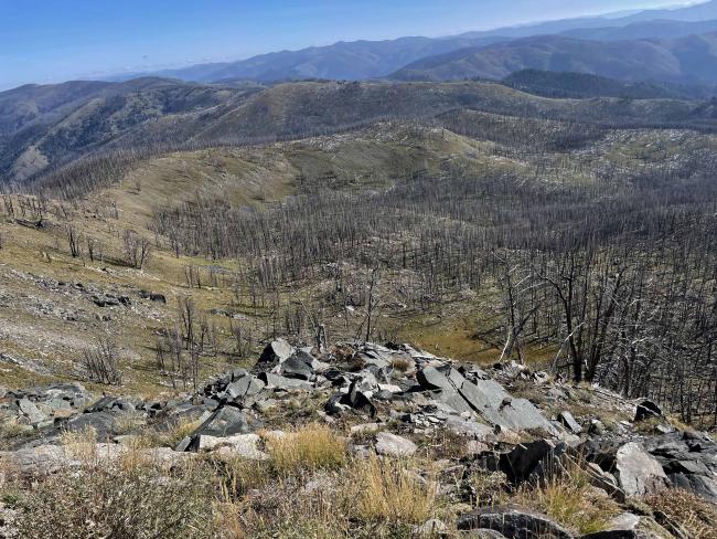
This is a burned-over scattered forest summit with few live trees. Parking at the trailhead is limited but several places within 200’ exist. Finding a place without snags limited parking to a couple of areas west of the trailhead at the curve in the road. The one above the road is near an Idaho/Montana boundary post. That post was placed in 1905 at mile 393.121 per information received from W7LIX.
The steel post is in great shape after 118 years. W7LIX has visited all these Stateline markers over a 30-year period advised me that in 2005 a bearing tree each in Idaho and Montana were still alive.
The trail to near the summit is in fine shape thanks to trail crew maintenance and has easily hiked grade. The summit is monumented by a USGS cap dated 1959. Open views are 360 degrees.
Snags are available for hanging antennas. Shade is limited.
Large expanses of fires have occurred in this Idaho/Montana border area. The fire-killed trees are of age to be randomly falling or wind thrown. Use caution and be alert of these snags when camping, parking, or hiking. A saw (hand or power) is recommended when travelling these forest roads in case one has to cut their way in or out of the area.
Trail Miles: 2.4 roundtrip (a spring exists at 0.75 mile up this trail)
Off Trail: Approximately 0.25-mile roundtrip
Elevation gain: 760’
Water: None along the access road or summit. A spring is up the trail at 0.75 mile but is not developed and would require filtering to be safe. This spring may not be available at times in the summer.
Bear Spray: Recommend for all Idaho/Montana summit hikes.
Camping: Campgrounds are along West Fork Road #473 (#9600). Dispersed camping is limited elsewhere due to snag hazards and suitable pull-offs.
Map: US Forest Service, Salmon-Challis National Forest, North Fork Ranger District or Bitterroot National Forest, West Fork Ranger District.
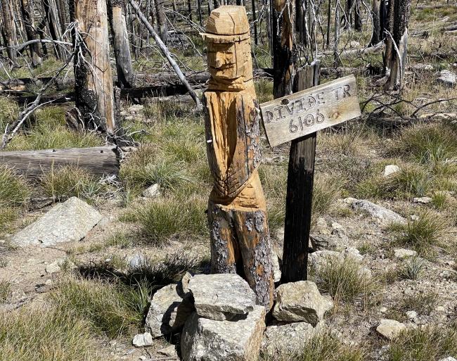
Directions: Travel 4 miles south of Darby on Highway #93, turn south onto the West Fork Road #473 (#9600) to Painted Rocks Reservoir. Continue up the east side of the reservoir for approximately 13.5 miles to the junction of FS #91. Travel up #91 for approximately 9 miles to Horse Creek Pass. Turn southeast on FS#044. Travel approximately 3 miles to FS#038. Continue east on FS#038 for approximately 5.6 miles to the trailhead. The trailhead is signed as Divide Trail 6106.
Summit access can also be from Salmon Idaho on Hwy #93 to North Fork then down the Salmon River to the Spring Creek Road #038.


