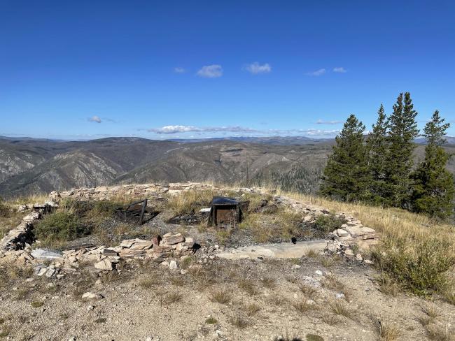
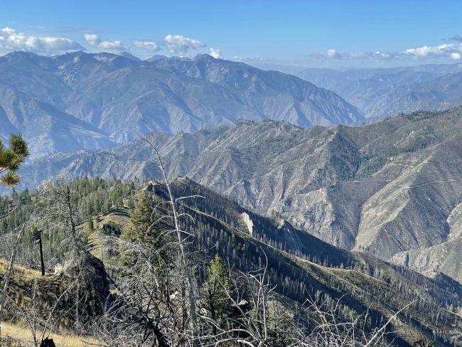
Beartrap Ridge is a sparsely treed summit having spectacular views of the steep landscape into Owl Creek and the Salmon River. Adding to the view are large wildfire patterns of the mid- 2000’s and exposed geology. The summit is an old lookout site dating to 1919. The only remains of the 1935 lookout are the rock base outline and some rusty stove and other metal remnants. The lookout and outbuilding burned in the 290,000-acre Mustang Complex Fire in 2012.
For K7PX’s truck this summit is a drive-up. Only a few fallen snags across the road had to be cut and removed. The road FS#043 is overall good, but quickly becomes deeply rutted on steeper segments of FS#284 from heavy summer rains of 2023. As with all summit access in this large area of modern-era wildfire, a saw (chain or hand) is recommended be carried when travelling forest roads in case one has to saw their way in or out the area. The fire-killed trees are of age to be randomly falling or wind thrown. Use caution and be alert of these snags when camping, parking, activating or hiking.
The summit activation is memorable for K7VK achieving 1000 points for Mountain Goat and at the preceding day’s summit, LE152, K7PX achieved 3x Mountain Goat points. A fine series of summit activations and campouts along the Idaho/Montana border.
Water: None along the access road or summit.
Bear Spray: Recommend for all Idaho summit hikes.
Camping: Campgrounds are nearby off Highway #93. Dispersed camping is also allowed along summit access road FS#728 and at the trailhead.
Map: US Forest Service, Salmon-Challis National Forest, North Fork Ranger District
Directions: Travel 4 miles south of Darby on Highway #93, turn south onto the West Fork Road #473 (#9600) to Painted Rocks Reservoir. Continue up the east side of the reservoir for approximately 13.5 miles to the junction of FS #91. Travel up #91 for approximately 9 miles to Horse Creek Pass. Turn southeast on FS#044. Travel approximately 3 miles to FS#038. Travel FS#038 east another 2.7 miles to Owl Creek Road, FS#043. Turn southwest on FS#043 for 3.9 miles to FS #284. Continue southwest on FS#284 4.7 miles to the summit. An alternative route does exist from Salmon to North Fork Idaho and then down the Salmon River, but is not described here.


