Summit:
W70/WV-058
Voice Cellular Coverage:
Don't know
Data Cellular Coverage:
Don't know
Cellular Provider:
N/A
APRS Coverage:
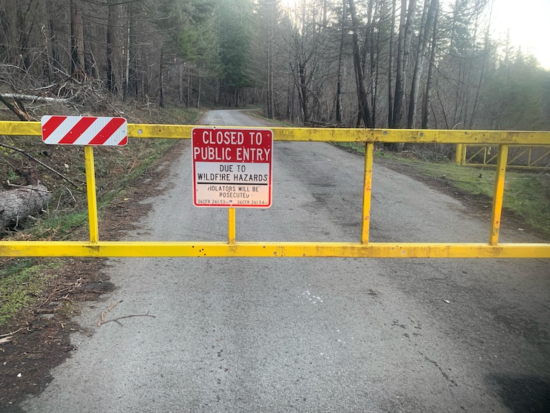
Don't know A Forest Service map released in January, 2022 showed FR45 open to Goat Mountain so I drove out this morning, assuming I'd have, depending on the snow, a two to four mile snowshoe. Alas, about six miles before the trailhead (45.20082, -122.24825) I found this barring my way:

So it would seem that the map is not accurate. One can probably assume that the other hills in this area - South Fork, Wanderers Peak, Whalehead, and Fish Creek Mountain - are also inaccessible at this time.
Given the wording of the sign, I would check with the FS before assuming that hiking or biking on the other side of the gate is okay.

