After you've activated W7W/LC-080, head back toward Ape Cave and park at the bend in the road at these coordinates: 46.13329, -122.25105 a couple miles from LC-080. If you poke around carefully, you'll see that there is an old road grade that meets up with the road right where you're parked. If you see a bunch of vine maple and vanilla leaf, you've found the road grade. Follow it, or just bushwhack North through the woods for about 250 yards or so until you stumble across the Cinnamon Trail. Take a right on the Cinnamon trail and hike uphill for about .8 miles, at which point the trail stops climbing as much. You'll actually be in the activation zone here, but you can bushwhack to the true summit if you wish. Careful observers will notice another old road grade that leads to the Summit from here. It's got 30 year old trees on it, but it's still obvious it's an old road.
From the bend in the road to the true summit, the hike is a total of 1 miles with 700 feet of elevation gain.
There are a few nice, stately old growth hemlocks along the trail.
There is no view from the summit.
I made no VHF contacts. Folks I worked on 40 meters told me they were listening for me on 2 meters and heard nothing.
Cell service is 1 bar but worked great for spotting. Was even 5G sometimes!
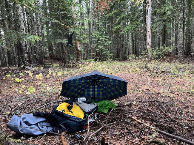
Great summit for a drizzly day. Tree cover protected me from the worst of the rain. Duffy forest floor was a nice place to sit.


