This was the first activation of Middle Stack Mountain in Nevada. A huge lesson learned (again) is that map resources conflict when it comes to roads, both roads that do not exist, and roads that do not appear on maps. Even when cross referencing maps with Google Earth you can’t be certain that a geological feature that “looks” like a road actually is one! As a first activation, there was no SOTA summit access information, though there were a couple of Peakbagger trip reports. These were somewhat helpful, but they provided no detailed information.
The bushwhack hike is only .33 miles with 327 feet of gain. There is a summit marker and plenty of room to setup. On this day the cold wind was strong enough that I moved off the summit to the east and operated behind a small rock shelf (well within the AZ). There are no trees or other structures to attach a mast or antenna wires.
Directions: My original plan was to take Jackpot to Little Goose Road just south of Jackpot, Nevada (41.94977, -114.68223), head southeast for 3-1/4 miles through Delaplain and turn south/right onto an unnamed road (41.92010, -114.63663), continue southeast for 3-1/2 miles to a junction (41.87497, -114.60953). At this point my original plan disintegrated! The following is provided to help you avoid the same mistakes. Turn west onto another unnamed road. Turn south/left after a ¼-mile at a junction (41.87494, -114.60956), south/right to the summit. Though some maps show this road passing just east of the summit, it ends at a cattle water trough (41.86422, -114.63060) at only ¾-mile south of the junction. There is actually a “Y” at this point where you’ll find two roads that diverge, one to the southeast and the other southwest. Both roads will not get you close to the summit.
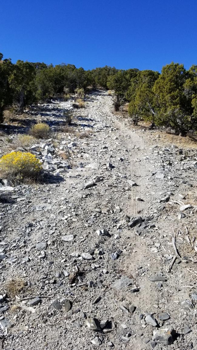
Actual Directions: Take Jackpot to Little Goose Road just south of Jackpot, Nevada (41.94977, -114.68223). Head southeast for 3-1/4 miles through Delaplain and head south/right onto an unnamed road (41.92010, -114.63663). Continue southeast for 3-1/2 miles to a junction (41.87497, -114.60953). Turn southeast/left for another 5+ miles (this road roughly parallels Trout Creek) to a junction (41.81095, -114.58010). Turn west/right. USGS maps label this as “Jeep Trail” or “4wd”. They aren’t kidding! Up until now the roads are Prius friendly. Continue west for a mile or so where the road quickly degrades into a heavily rutted washout. There are multiple intermittent streams that converge onto the road for a quarter of a mile stretch. This is also where a high clearance vehicle is required. Once through this section you are presented with a steep climb on loose rock (see picture) up to the Boston Mine. This section will require not only a high clearance 4wd vehicle but also 4-low gearing. From the intersection onto this road to the next junction (41.79334, -114.65192) is 4-3/4 miles. Turn north/right for just over ¾-mile along another steep rocky road to a saddle where the hike to the summit begins (41.80541, -114.65540). There is plenty of room to park and turn-around just north of the saddle where the road dead-ends.


