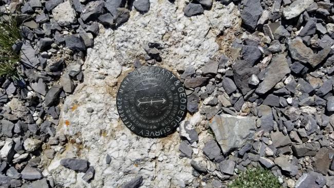
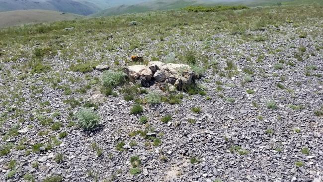
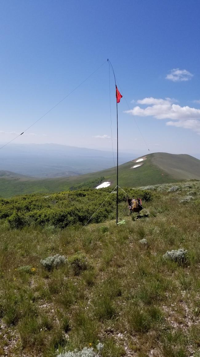
This was the first activation of Gollaher Mountain. The USGS marker at the summit calls it Gollyer Mountain, though all maps and other information uses Gollaher. Someone has placed a register in a glass bottle under some rocks at the summit. A lot of people have signed it. The drive to the summit is relatively straight forward, though somewhat long and requiring 4wd/high clearance (not Prius friendly/Subaru Outback’s may have issues with the deep ruts). At this time of year there were water-filled ruts, and at one point, a large marsh (41.87953, -114.45959) that was barely passable. Any earlier in the season and it would be a sticky bog. There are sections of the road with grass between the tracks that were over 3 feet tall. When things dry out this summer the area will be prone to fire.
Directions: Travel approximately 2.5 miles south of Jackpot, NV to the junction with “Jackpot to Little Goose Road” (41.94977, -114.68222). Turn left (there is a sign that says 40 miles to Goose Creek). Travel along “Jackpot to Little Goose Road” (a well graded gravel/dirt road) for 10 miles and then turn right onto an unnamed road (41.93808, -114.53828). Continue for 9 miles to another unnamed road (41.87273, -114.45505). Turn left at the junction and then travel for 2 miles to the summit. The last ½-mile is a pretty steep loose rock ascent. Note: Google Maps will navigate you to a location (41.87616, -114.45465) and then end, though the road continues as described above.


