Goat Peak - W7W/MC-026 – 13 October, 2013
Goat Peak is located east of the Cascade Crest. Myself, partner Ms Pat WT7N, and Bro Mike drove 19 miles east of Chinook Pass on Hiway 410 to one of the three Goat Peak THs. Our TH is located directly across the highway from the Hells Crossing Camp Ground. Garmin said that the distance to the summit was 3.2 miles with an elevation gain of 3000 ft. BTW, we did not take the http://www.wta.org/go-hiking/hikes/goat-peak-1 recommended route.
The three of us had visited Goat Peak a few years before- long before I knew about SOTA. Back then we hiked to the summit in almost rainy conditions and didn’t see much except for some old fire lookout phone insulators nailed to the trees. This trip we were rewarded with a lot of nice scenery on a cool clear warm in the sun fall day.
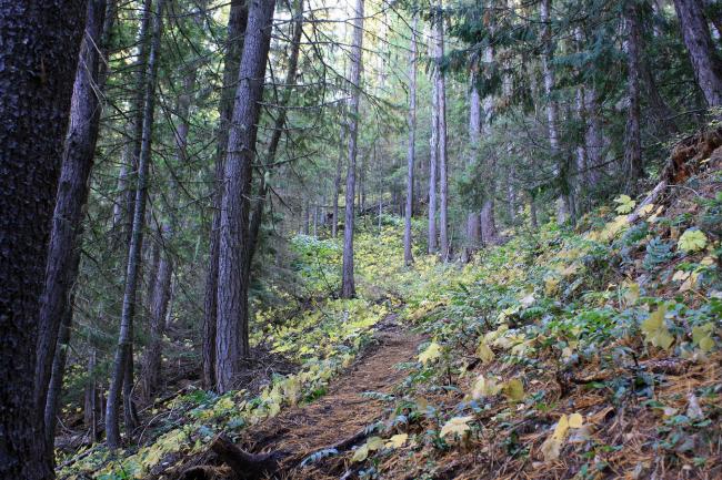
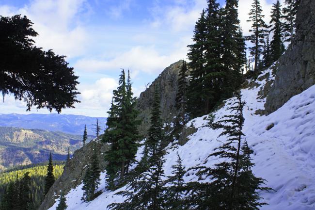
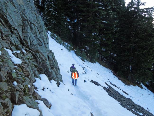
From our chosen TH at 10 AM, where the temp was 28 deg F, we began gradually ascending in meadow like terrain. But soon we were climbing up a gully with a creek in it. The going was rough for ¾ mile climbing over and around rocks. After that the trail is OK to do business on. We encountered a bit of snow, left over from the previous week, on the trail between 5,000 and 5,500 ft elevation. This snowy area of the trail was along the north side of the ridge in the shadow of the sun.
I was a bit confused when we came to an intersection where the WTA trail meets our trail which was about ½ mile from the summit. I was thinking at this point there would be a spur trail to the summit. But no… our trail and the WTA trail converge to create the American Ridge Trail which routes within 50 ft of the Goat Pk summit and keeps on going south west towards the PCT. We encountered a party of three humans and two annoying canine hikers in a snowy area heading back down. We had the whole summit area to ourselves. Fine Business.
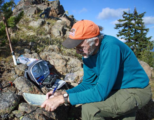
The actual summit is a large flat surface approx 20 x 20 ft where the fire lookout cabin used to sit. There was no place to strap or jam my fish pole mast into so I opted to set up my station 40 ft downhill a bit off the beaten path. But first I wanted to operate on 146.520 FM. I had pre-programmed some Yakima repeaters into my 2M HT and called for ops to QSY to dot five two. A long enjoyable QSO was had with a ham on a Yakima Ridge and another with a ham on Whiskey Dick Mtn near the Columbia River close to Vantage. I am always amazed by 2M DX.
Admission of error: I should have listened on the frequency before I spotted myself on 14.061… as this freq. had some other SOTA activity on it. I could faintly hear another activator and the QRO signals of the chasers. I couldn’t make out the summit’s call sign due to the strong chaser signals. I wonder if some chasers might think that they made contact with me because of my error. I moved to 30 Meters and made 10 QSOs. Then back on 20 Meters there was still activity on 14.061 and I still couldn’t get the activator’s call sign. I moved to 14.065 and did not spot myself. It took a many CQs to finally make contact. I must have been spotted by another chaser or RBN and 27 QSOs were made.
It was such a nice sunny day basking in the southern sun I’d walk away from my radio and hike up to the fire lookout location just to look around and chat with my hiking companions. I was in no hurry to leave. But backcountry common sense took over and we packed a bit later than I’d usually do. It was just getting dark as we approached the TH.
Epilog: Just the other day while hiking to another SOTA location… I was thinking about all of the SOTA outings I’ve been on this year… and if I had to pick one of them that stand out as my favorite… It would have to be this trip to Goat Peak.
Flickr fotos here: http://www.flickr.com/photos/kr7w-sota/sets/72157638048325035/
73 to all
-30-
Rich KR7W


