My second bust in the Tatoosh Range! These peaks are far enough from PDX that 2m won't reach, and despite the proximity to Seattle, there happens to be a big chuck of rock and ice in the way. I knew it would be a stretch, but was hopeful the extra time on the summit would give me a chance to round up four contacts. Nope. Advice: either bring a beam antenna, your HF rig, or coordinate with other activators and chasers to make sure you can get it done.
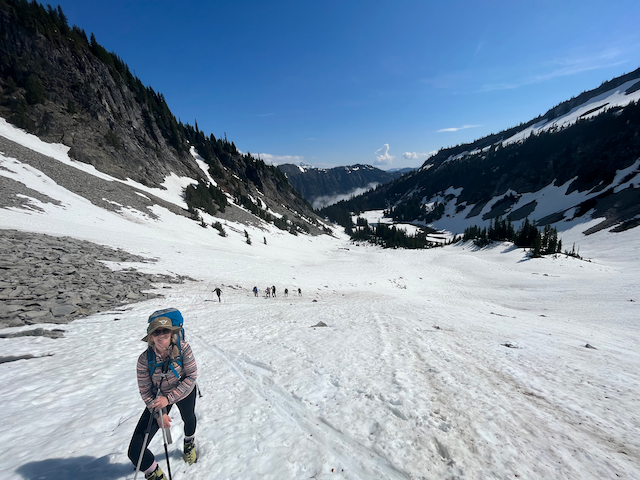
This peak is within the Rainier National Park so a pass is required. $30 day, $80 year at the time we went. We left the snow/bench lake trailhead at 8:30am, found packed snow within a few hundred yards, and stayed on snow until the summit pinnacle. Routefinding is difficult in the snow so using a GPX track would be recommended. We expended extra energy working along a traverse that was not required had we stayed low and followed the creek-side trail to the lakes. The first 1.5 miles is relatively flat, miles 2 through 4 are on steep snow. We found boots sufficient but crampons are advised in firm snow or ice. An ice axe is recommended as well for these two large pitches to facilitate self-arrest.
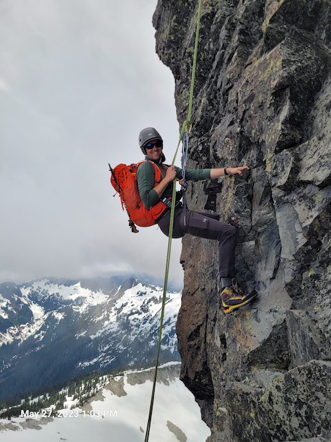
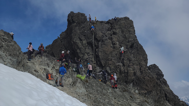
The summit block is exposed rock with a variety of routes from 5.0 to mid-5. We found two other parties and waited our turn to ascend the 5.0 route to the far right of the summit pinnacle. A rappel is the most direct way down, with a dead tree being the clear option for an anchor. Slings and rings are often left here, always confirm condition before using an unknown rappel anchor!
For the radio side: I was able to spot using LTE cell coverage (iffy but it worked from the summit). You can activate without the rock climbing piece, because the pinnacle is short and the AZ includes the saddle leading up to it. This gave me over two hours on the air, but still netted no contacts. Radio was an Icom IC-V80 with MFJ-1717 antenna. I did regret leaving HF at home given the lack of contacts, but it was a great climb with great people.


