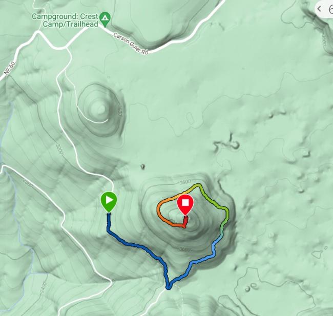
FS6801 Rd is not obscure to find and clear of windfall until about 1 mi. in. Directions to FS6801 are available by other blog entries. Going east on FS60, if you get to the PCT, you've gone too far.
From where I parked (see map below), it was a 2.75 mi road hike. Even if the windfall logs (4 of them) were cleared, the maple, alder, and doug fir are growing into the road space, meaning a few scratches on vehicles. The road ends at a turn-around location with great views of Mt. Hood to the south. There was a 1000 ft elev gain for this track.
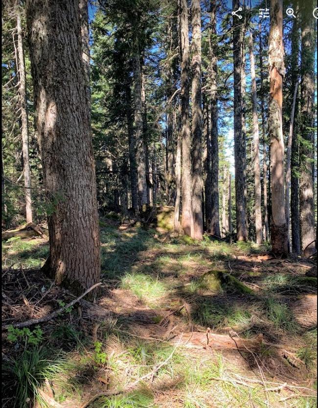
Then the fun bushwhack (about 200 ft elevation gain) to the summit thru the huckleberries begins. A steep, 200 yds or so, brings you to a forested summit, really without any vistas. I was greeted with a zillion hungry mosquitoes so bring a head net and/or ample bug repellant. It might get better after everything drys out but now it was miserable.


