The summit is in pretty much the same shape as previous report linked by Etienne K7ATN.
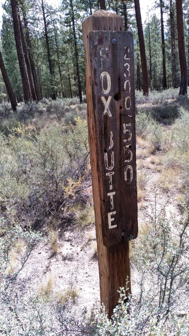
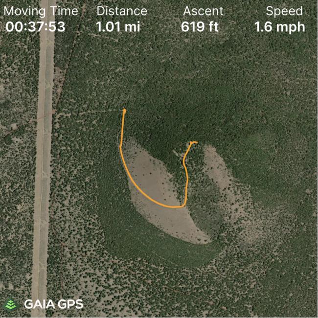
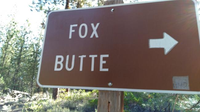
Take the well-gravel Road 23 south from Highway 20 about 26 miles and turn on Road 550 - note that the annotations on the Fox Butte sign at the bottom have been scrubbed. So not even a black on brown note to park at the bottom. Park at this intersection with the brown Fox Butte sign (43.613410, -120.851298). You have been warned, otherwise you face a 0.4 mile drive in reverse from the locked gate back to where you can turn around. The overall hike is 1.1 miles from the sign to the top. The road is Priusable to the sign.
Nice place up on top, with plenty of room to put up EFHW and trees too.
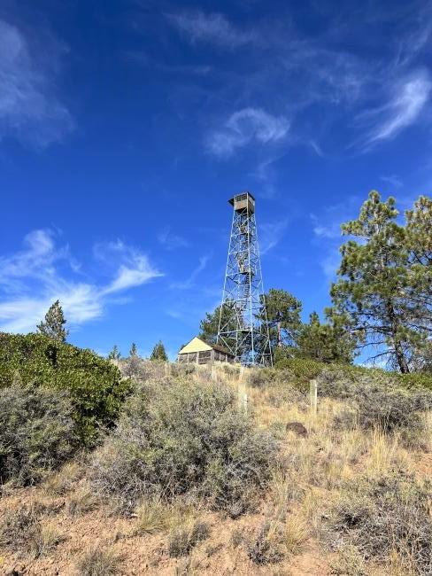
The lookout is still standing as of this writing but I didn't climb it.
If you have the time (and drove all the way out here anyway), consider activating Quartz Mountain (W7O/CE-078) as well.


