NOTE: not to be confused with the other Blacktail Mt, which is much farther north in the Idaho Panhandle.
For this 1pt summit, you really have to work for it. The elevation gain is around 1800' and distance is around 2 miles OW.
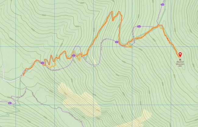
The trailhead is shared with the Maiden Rock Trail. It is a motorcycle trail that was rebuilt by a local club and so the trail is only somewhat similar to what you will find on the map. There are quite a few places where you can decide between a very steep direct route or a more leisurely but still steep route. They all seem to converge back on the main trail.
Starting from Highway 95 north, turn right on the northern end of Blacktail Rd (48.122481, -116.611108) and proceed east until a left turn onto NF-230 also known as Butler Creek Rd and follow that until the trailhead parking lot. At some point it turns into gravel/dirt. There are quite a few potholes but can be negotiated carefully. The parking lot can accomodate 4-6 cars. I was alone in May though I could imagine that it fills up later in the summer when folks head down to the lake.
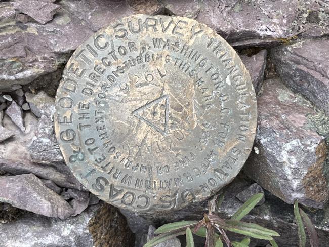
The trail proceeds steeply upwards towards the top and around (48.12188, -116.52166) you should see a path that heads to right and the false summit and leaves the motorcycle track behind. From there it is another 1/4 mile to the summit. There is a spot slightly prior to the summit which can be used to setup a wire antenna. The summit itself is a rock pile with not much space.
It took me around 2hrs to hike up and an hour down.


