NC-075 is an unremarkable peak in the Tillamook State Forest. Easy enough to accomplish if you happen to be nearby or in a completionist mood.
Access appears to be available from the west at the coast near Wheeler, but I routed from the east near Triangulation NC-005.
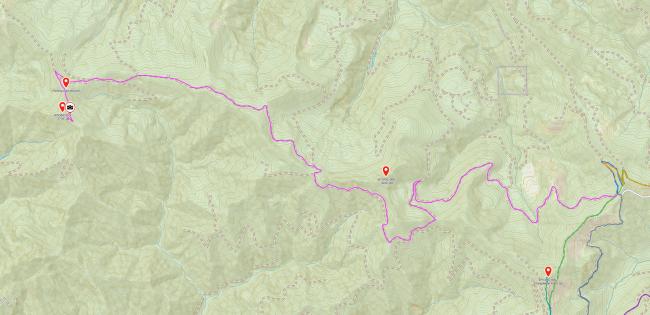
There are a couple routes that appear viable on a map between Triangulation and NC-069 and then on to NC-075, but I found at least a couple are in need of maintenance. My GPX route and snapshot below starts routing from just north of Triangulation at the "intersection" (45.64155, -123.63179), and this route was open and passable. The entire route from Triangulation to NC-075 is doable in a passenger car but won't be entirely pleasant; the roads especially near NC069 get a little rough in spots but do stay pretty clean and nice to drive after that. I did not have any problems with foliage encroachment, just rough terrain.
- Start near NC-069 at about (45.63617, -123.66802).
- After about 3.5 miles of the "main" road, turn left onto a fork at (45.65606, -123.72725).
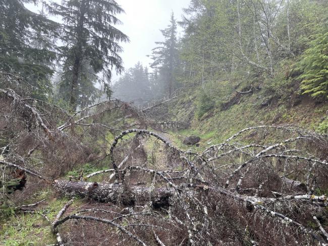
- Less than 1/4 mile ahead, pull off and park at (45.65390, -123.72530). This road is single-lane and when I was there, a significant amount of blowdown made it impossible to go up any further, plus very hard to turn around. Given this is a remote area with little activity, I don't expect it to be cleared at any point.
- Hike the remaining 1/4 mile through the blowdown to the point where the road meets the south edge of the peak ridge. This was about (45.65008, -123.72414) for me. Bushwhacking begins here.
- Hike/bushwhack the remaining ~500ft to the summit.
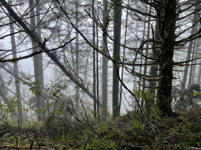
I didn't find a particularly good open area to setup, but looking at my route afterward, I was also not quite to the summit proper (still well within the AZ) when I set up. Perhaps there is a more suitable area just beyond where I stopped, but be prepared to setup in fairly dense tree cover. I think I left a radial up there somewhere.


