Pinnacle Peak is a popular spot for beginning activators in this area: it's very accessible, and there are both northen and southern trail routes. My YF and I used the Cal Magnusson trail on the North Side. It is a popular spot for hikers (often with dogs) and runners -- steep but only about a mile to the summit. One runner told us she'd made the ascent in 32 minutes. We took more like 50 minutes.
The trail is through forest and is well-used. Some of it looks like it could be treacherous when muddy, but it was quite dry for us. There are no trail markers to speak of -- keep heading UP and watch for landmarks you can spot on the way down to avoid a wrong turn at the one or two places where you might not be sure.
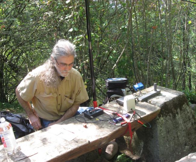
The summit is a relatively flat clearing about 25 feet in diameter with trees or brush on all sides. There may be a view in the winter with deciduous leaves down, but in September there are only glimpses. There are a couple of wide, wooden benches constructed between old concrete footings that may have supported a fire lookout long ago. The benches make a convenient work surface, and one served as a place to lash the antenna mast.
The local animal population is evidently accustomed to handouts. We were visited at close range by both birds and squirrels.
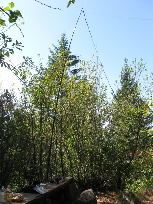
The 44ft doublet was supported at the center by a telescoping mast at about 18 feet. I tied the ends of the doublet to small rocks and tossed them up and into the brush on either side of the clearing. From my previous use of the doublet, I had much more twinlead than I needed for this setup, so I strung it between branches around the clearing to take up the slack and keep it off the ground. The antenna loaded well on 40 and 30, but my LDG tuner did not find a good match on 20M, with either the 4:1 or the 1:1 balun setting. I chose the one that made the HB1B's transmitter happiest, and it seemed to work OK. Overall, I made 21 QSOs with stations in WA, OR, CA, MT, UT, AZ, MO, TN, GA, and QC (2 on 2M simplex, 4 on 40M, 3 on 30M, the rest on 20M).


