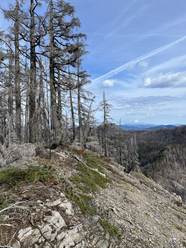
Pansy Mountain has not been activated since the 2021 fires. I originally intended to do both Pansy Mountain and Bull of the Woods, but I did not get an early enough start for a late autumn hike. Getting there is straight forward. A high clearance vehicle is helpful for a couple of sections, but it is probably not absolutely necessary. Follow the directions from the Forest Service:
https://www.fs.usda.gov/recarea/mthood/recarea/?recid=52988
The hike is easy up to the saddle at the junction of Trail #558. From here, proceed in a Southwest direction. The fire helped clear the underbrush, but the hike is still steep. It gains roughly 800 feet in 0.3 miles. I was following a set of elk tracks up the mountain and noticed it was having trouble with traction in the steep areas. Some shrubbery would have been nice. Halfway up, there is a cliff with a notch to scramble through. After this, the trees become denser. Once on the ridge turn south for a relatively easy hike with exposure on both sides. I tried a slightly different path on the descent, but got a little close to some cliffs. If you look at the GPS map below, I recommend following the more northerly path.
The summit still has some tall trees for antennas.
Edit 7/10/2024:
I activated the summit again this year in July. Lots of nice wildflowers and running streams for cooling water. Here is a GPS route that is probbly the best way to summit.
http://www.pnwsota.org/content/wx7or-pansy-mountain-gps-track
Jeff
WX7OR


