4wd + Short Hike
Directions:
Exit east from Exit 85 on I-15
Drive 4.3 miles south on Hwy-91
Turn left on Burma Road – Continue 3.1 miles
Turn left on 2-track at Chokecherry Gulch (by gravel pit)
4wd + Short Hike
Directions:
Exit east from Exit 85 on I-15
Drive 4.3 miles south on Hwy-91
Turn left on Burma Road – Continue 3.1 miles
Turn left on 2-track at Chokecherry Gulch (by gravel pit)
4wd + Short Hike (0.9 Miles, +631 ft., -215 ft.)
Directions:
Exit east from Exit 85 on I-15
Drive 4.3 miles south on Hwy-91
Turn left on Burma Road – Continue 3.1 miles
Turn left on 2-track at Chokecherry Gulch (by gravel pit)
We had grand plans for the weekend and then saw them all melt away after a couple of received phone calls. By Sunday afternoon, the sobering reality of a totally adventureless weekend was weighing heavily on us. As my hope faded, Mrs.
NOTE in January 2021 - This summit has been posted PERMIT REQUIRED FOR ALL ACCESS by Weyerhauser. See photo below.
I read up on K7ATN's activation from 2015 and spent a fair amount of time looking at the maps. It seemed like there was an easier way to the summit than the highly rutted road that he had taken. Sure enough, there are good roads all the way to the bottom of the approach.
Access to Saturday Rock summit is via NF-42 which begins at Sunset Campground at the end of NE Sunset Falls Road. The road is well graded, though peppered with its fair share of chuck holes. Follow NF-42 for approximately 9.4 miles to the intersection with NF-53. Continue on NF-53 for another 2.4 miles to the intersection of NF-53 and NF-38. Plenty of room to park at the intersection off the main roads.
Willamette Valley and Puget Sound Summit-to-Summit (S2S) Parties
Saturday, September 23, 2017 at 18:00 UTC (11am local)
Frequency: 146.58-fm
Peak 4005 is a near drive-up summit a bit east of Mount Hood, accessed mostly on paved Forest Service roads. You should consider this summit in the Mount Hood 2m FM "dead zone" as we were not able to raise anyone on 146.52.
Peak 4816 is a near drive-up summit a bit east of Mount Hood, accessed mostly on paved Forest Service roads. The summit area has an small but interesting rock pinnacle. You should consider this summit in the Mount Hood 2m FM "dead zone" as we were not able to raise anyone on 146.52 except a sked with a nearby S2S.
Peavine Mountain is a drive-up summit a bit east of Mount Hood, accessed mostly on paved Forest Service roads. You should consider this summit in the Mount Hood 2m FM "dead zone" as we were not able to raise anyone on 146.52, even after begging on the Mt. Hood repeater.
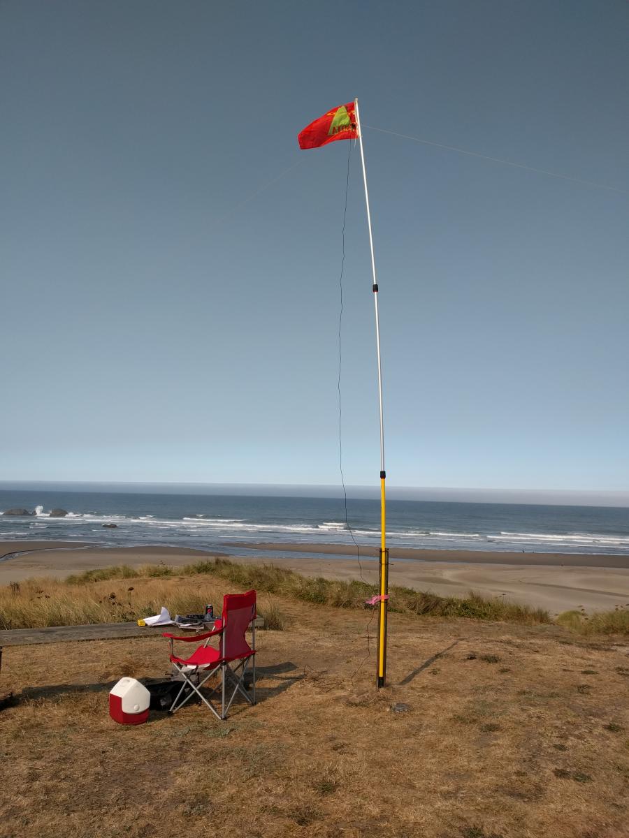
 This wasn't an actual SOTA operation, but it was done in SOTA style. For today's Eclipse QSO Party, I took my SOTA gear to Oregon's Devil's Kitchen State Beach.