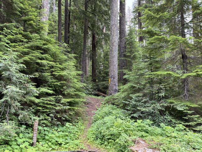
The previous trip reports have described driving up to South Fork Mountain, and I wanted to add that there is a trail to the top off of the well-maintained forest road 45, which is also on the way to/from Wanderers Peak. Thus it makes for a great second activation with no additional driving miles.
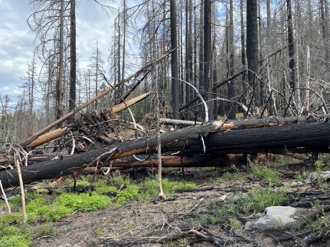
There is space at the side of the road for a couple of cars to park to access Trail 515 from FR 45. The first half is a nice maintained trail. The second half I would recommend having a GPS added map like gaiagps to make sure you can stay on track as there are a few places where it is hard to distinguish the trail. This summer some helpful entity had also tied some neon pink flags to trees to help mark the way. There was one part in particular that involved adventuring over several downed logs, but *most* of the way was pretty clear. IMO it's a nice mostly steady climby of 1200ft over 2.2 miles, which I would recommend.


