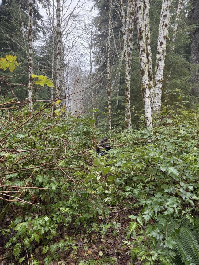
Prairie hill is a forested 3/4 mile bushwhack over an extremely overgrown old road. It is on public land and getting the “trailhead” is pretty easy.
Turn off North Bear Creek road onto the gravel forest road at 44.97596, -123.88224. The road was in decent shape and should be passable by any normal vehicle. Continue down this road until 44.96405, -123.92107. There is space for a couple cars to park here. You will need to get out and bushwhack from here. A machete or similar tool could be recommended.
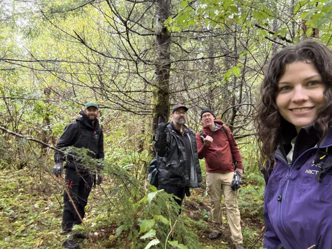
Myself, Jeff WJ7V, and Jason K7BXX activated this for the first time on a drizzly fall day. We were accompanied by my SO Jake, who was more prepared for the vegetation conditions, meaning we did do some clearing as we went with some pruners and a small saw. So activators going soon this season before re-growth may find it somewhat easier going. You’re welcome.
After this experience I am now also the proud owner of a machete.
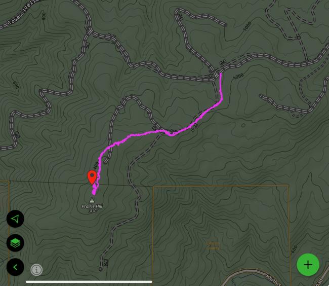
Note that the hiking “road” as marked on Gaia matches reality for some while, but we found that it diverges from the map around where a fork is supposed to be and a single road continues more directly right to the summit. See the image below of my Gaia tracks.
No view at the summit, and not much clearing space either. You need to find some place amoungst the trees and brush. I was able to string a random wire up along a more clear portion of the road.
Because of the tediousness of the bushwhack, the lack of view, and not great space on summit for activating, I wouldn’t really recommend this one over others in the area.


