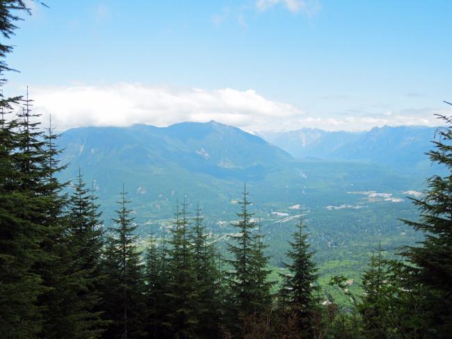
Rattlesnake Mtn is part of King County's "Big Backyard" series of hikes. There is a trail head at the northwest end of the mountain at Snoqualmie Point and at the southeast end at Rattlesnake Lake. Walking from TH to TH is about 11 miles. We took the RS Lake route which is 4.3 miles and gains ~2500 ft to the summit. See: http://your.kingcounty.gov/ftp/gis/web/vmc/recreation/BCT_RattlesnakeMtn_brochure.pdf
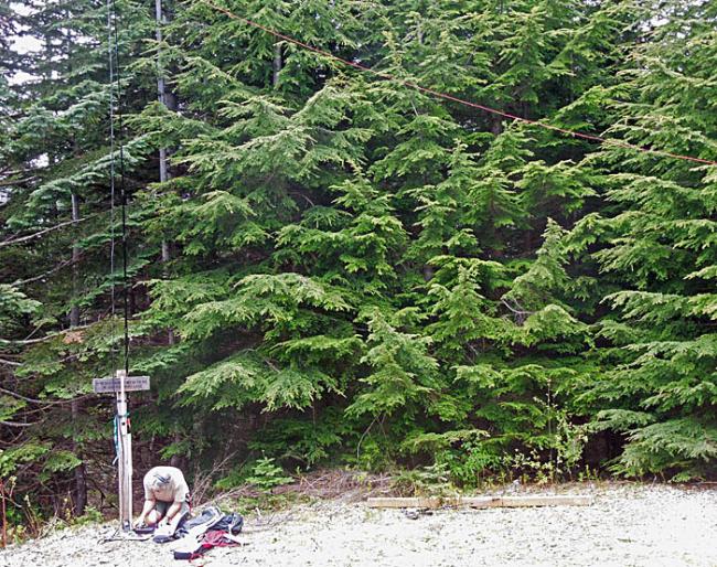
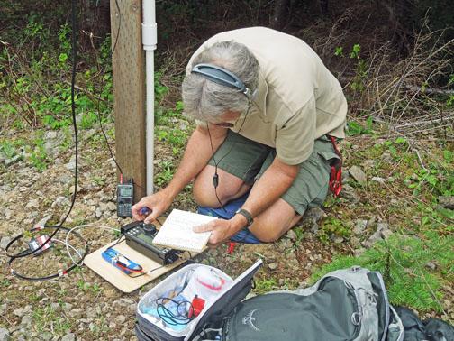
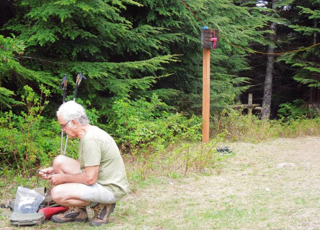
Myself, Ms Pat WT7N, and Chuck AC7QN began about 10:30 AM and arrived at the high point at 13:10 PDT. There is a very old Comm Tower at the summit of 3517 ft ASL. We set up stations along the trail at 3501 ft ASL, away from possible interference from the comm tower.
Local chasers were following me on APRS and once they saw that I was at the summit I began getting calls on 146.520- the frequency shown in my aprs status message. 4 stations were quickly worked on 2M FM.
I erected my 18 ft Crappie Pole with 44 ft doublet and attached the pole as well as my 2 meter PVC coaxial dipole to a trail marker sign post. Mason twine tied to nearby trees elevated the ends of the doublet.
This activation was my first use of a homebrew 44 ft doublet fed with TV twinlead and a homebrew 4:1 balun. I operated 40M, 30M, and 17M CW. I skipped 20M because Chuck AC7QN was set up nearby on 20M SSB. We interfered with each other but I made my CW QSOs quickly and then he was able to work some 20M SSB Chasers.
This my first time operating 40M on a SOTA outing. 3 local stations were worked but the highlight was Phil NS7P on SOTA summit W7O/WV-088. 30M and 17M provided a handfull of QSOs. Thanks to all who followed my aprs tracks and made contact with me. Here's a non award winning movie I created of Chuck AC7QN's activation of Rattlesnake Mtn: http://www.flickr.com/photos/kr7w-sota/9020106340/in/set-72157634077239308
Roy and Dale said it best - Happy Trails,
Rich KR7W


