An outing to Pine Mountain offers an opportunity to activate 3 summits: W7O/CE-058, W7O/CE-068, and W7O/CE-176. After Pine Benchmark, I drove back to HWY 20 and headed west. I turned left on Spencer Wells Rd to head towards the OHV area. This summit was a bit of a weird one. There is a road all the way to the top. My efforts to get TO that road were thwarted by private property and no tresspassing signs. Perhaps it is possible to reach that road and take it up, but I was unsuccessful today. See map below for no access road.
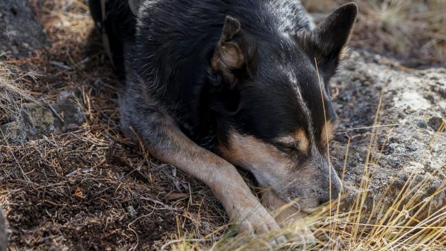
Horse Ridge sits in public land, and I was determined to get the activation. I ended up parking on the West side of the mountain at 43.88112, -121.08090. Note: there is a shooting range here and if other people are in the area, it probably isn't a good idea to hike up this way. Roscoe and I bushwacked up the mountain. It was steep, punchy, and after being cold all morning, hot. This is high desert terraine. It was odd, being hot and then looking at the storms to the west and seeing snow dumping in the Cascades and Paulina Peak.
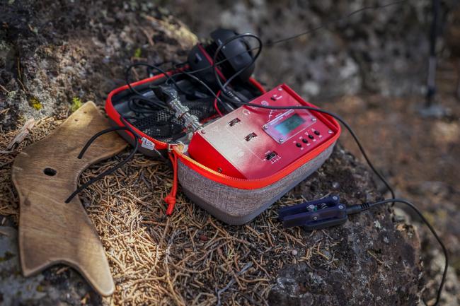
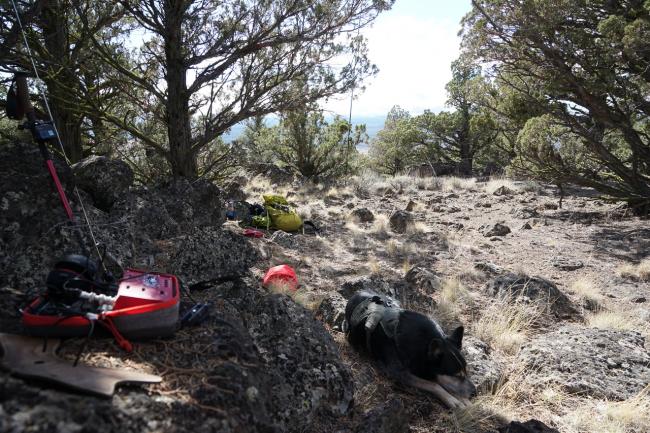
Eventually we made the summit and I manage 3 QSOs on VHF, but the 4th eluded me. I'd hoped to get the activation done without setting up the HF gear, but no dice. I set up my station in the shade and quickly got a few QSOs on 40m. By this time it was getting late in the day and I was ready to head back into town.
The drive out, was also stopped by private land and no tresspassing signs. The map shows a road on the NW side of Horse Ridge that goes all the way to HWY 20. No dice. I had the backtrack and went out the way I came.
It looks like there may be some roads that connect to the Horse Ridge road, but I did not investigate.
All in all, I wrapped up this day with 16 points that pushed me over into 200 SOTA points!


