Mount Pisgah is one of two Mount Pisgahs in Oregon, this one is near Prineville, the other near Eugene. The one near Eugene is a nice hike, this one is a tedious drive up.
The map shows several ways to get there. We drove on forest road 22 past Walton Lake. The pavement ends a bit after the lake. There is a connector road 150 and then we were on Summit Road, aka 2630.
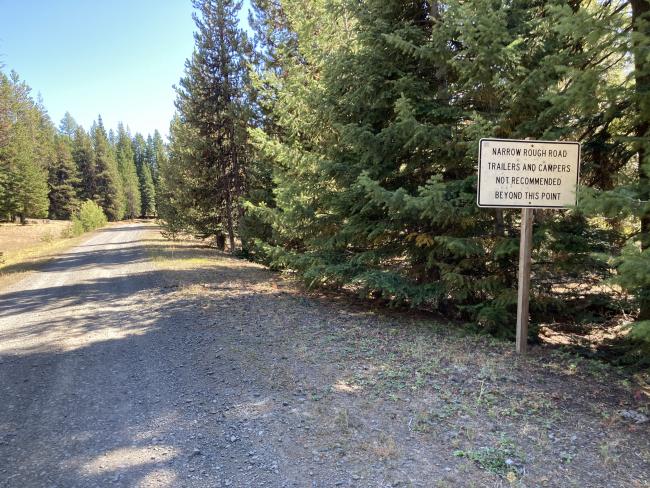
The rode gets interesting at (44.46717, -120.25927). We continued on 2630 here where it splits with 450.
Despite it being September we had all bad road stuff: narrowness, mud hole, deep ruts left over from previous mud holes and rocky steep places. The next turn is on 2230 at (44.45808, -120.20288) and finally turn off (actually go straight) up to the lookout at (44.45608, -120.22995). There was a pickup parked at the lookout tower, but the lookout did not come down and we did not go up. Would have been nice to inquire if the other ways (according to the map) were better roads.
We setup down slope a bit from the lookout using a snag to anchor our mast and experienced no rfi.
Maybe a better way up, but someone else will need to do that experiment.


