Dean Mountain, also labeled on some maps "Dear Mountain", as in Dear Mountain it's been such a long time, sorry I haven't written.
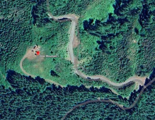
Anyway, it is an easy hike up a road past a gate of less than 0.5 RT miles and about 150 feet of elevation gain. I guess the reason it hasn't been done before now is that it is a long drive on gravel roads. Actually, gravel road: road 2000. It is likely Priusable as it lacks any serious pot holes and very few non-serious ones. One can't go fast though, as there are lots of blind corners. Also, a 2wd might need some momentum at a couple of steeper places.
Start by finding Hwy 38 just north of Reedsport, OR. Then find the turn away from the river onto Deans Creek Road at 43.6933, -123.9990.
Proceed on this two lane paved road until almost its end. Just before the end there is a right turn onto 2000 Rd at 43.66280, -123.99690.
From here it is about 10 miles on the good gravel road. No other roads required, so stay to the good gravel, up and down, on and on, over hill and dale, until the trail head at 43.6139, -123.9768.
Park here! Looks like an easy drive up, but there is a gate secreted just up the hill out of sight with no where to park and very little room to turn around. Plenty of room to park just off the main road.
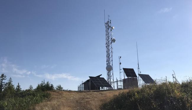
The summit has no large trees and very little room to operate out of the possible influence of the intentional RF stuff and the solar panel arrays. I did not try, but walked back down the road a bit and found a rotted tree stump that worked well for supporting my antenna pole. No RFI at my location except for some portions of the 40M SSB band.


